NÅ’AN FINA’TÅNO’ YAN MÅTAN HÅNOM
Geological Features
We are currently working with the Water and Environmental Research Institute (WERI) at the University of Guam to validate, restore, and further identify traditional names associated with Guam’s watersheds. These include the naming of water basins, run-offs, rivers, streams and underground aquifers.

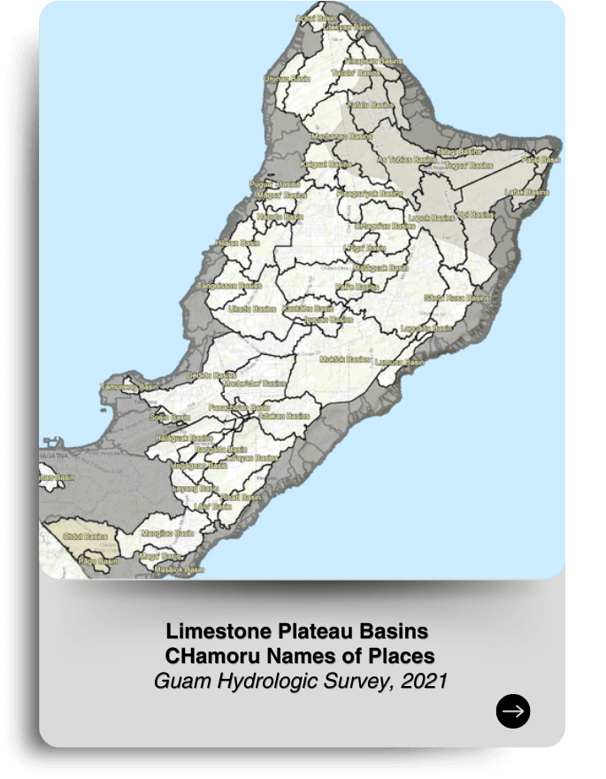
Limestone Plateau Basins
CHamoru Names of Places
Guam Hydrologic Survey, 2021
https://werinch2018.maps.arcgis.com/apps/webappviewer/index.html?id=d98bb099bf1d45bf99435ea8a83b5d0d
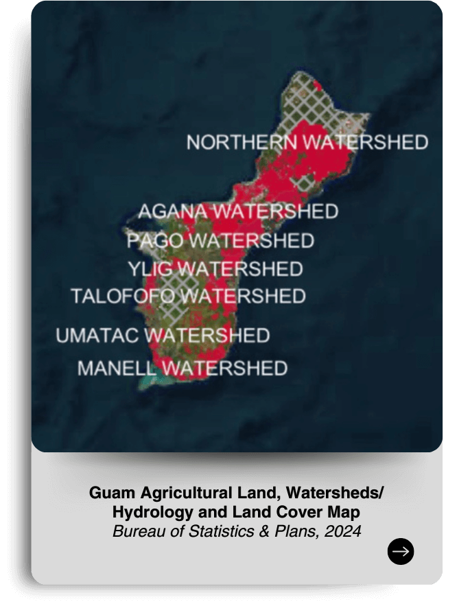
Guam Agricultural Land, Watersheds/Hydrology, and Land Cover Map
Bureau of Statistics & Plans, 2024
https://govguamgis.maps.arcgis.com/apps/mapviewer/index.html?webmap=9718239324dd4219a56bc6c3f5b7f964
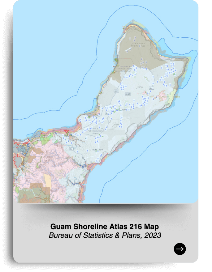
Guam Shoreline Atlas 216 Map
Bureau of Statistics & Plans, 2023
https://govguamgis.maps.arcgis.com/apps/mapviewer/index.html?webmap=0a4e6b1bc7814e1c9e53e8fec208aa99
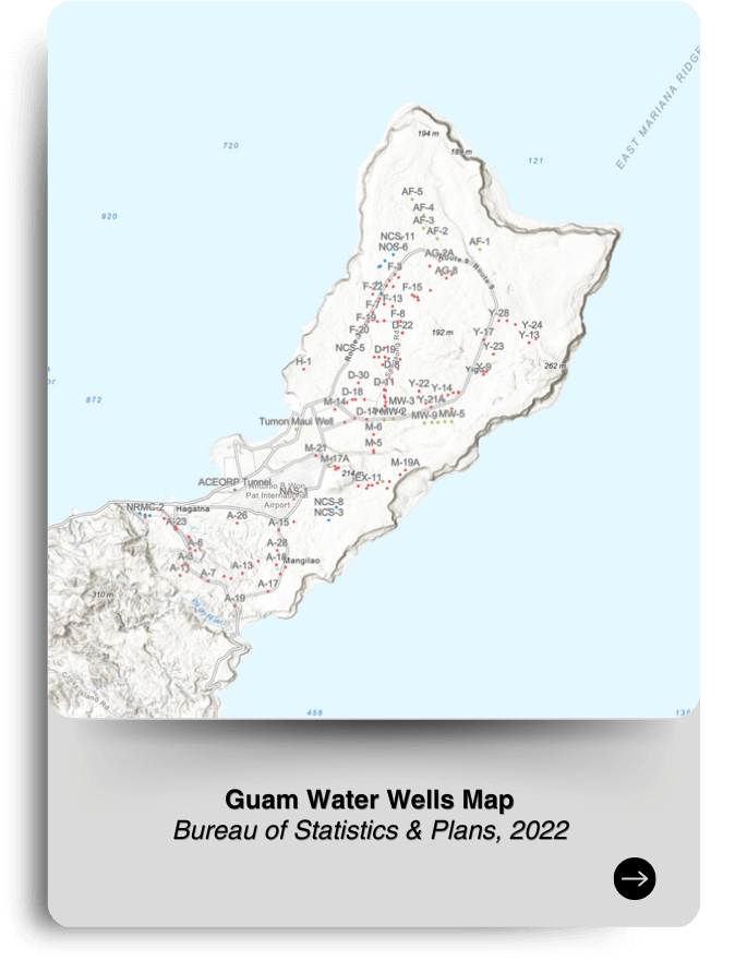
Guam Water Wells
Bureau of Statistics & Plans, 2022
https://govguamgis.maps.arcgis.com/apps/mapviewer/index.html?webmap=ede1d6d83b3f40ad8a0d49de02784a14
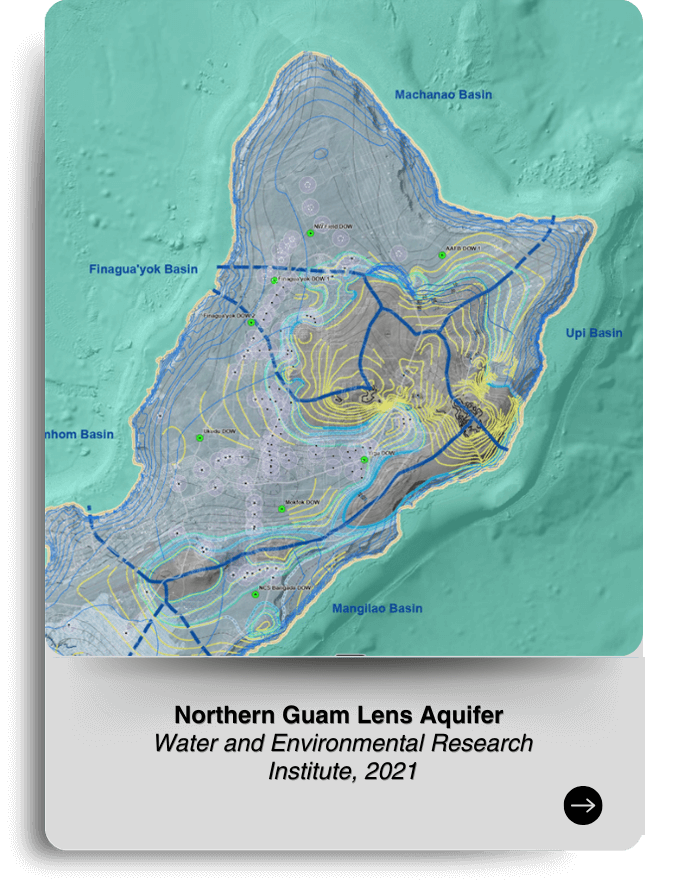
Northern Guam Lens Aquifer
Water and Environmental Research Institute, 2021
https://werinch2018.maps.arcgis.com/apps/webappviewer/index.html?id=3040e8ef28d14f7399f5b0b3c73a72e0
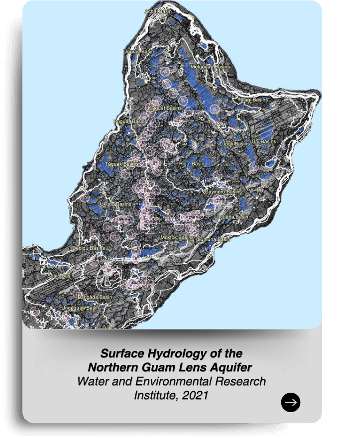
Surface Hydrology of the Northern Guam Lens Aquifer
Water and Environmental Research Institute, 2021
https://werinch2018.maps.arcgis.com/apps/webappviewer/index.html?id=7f506c88a95747aa8774b0c0d311d7da